Walking Saskatoon braved arctic conditions to take a look at some of the major pedestrian projects that were completed in 2025 that we haven’t covered already.
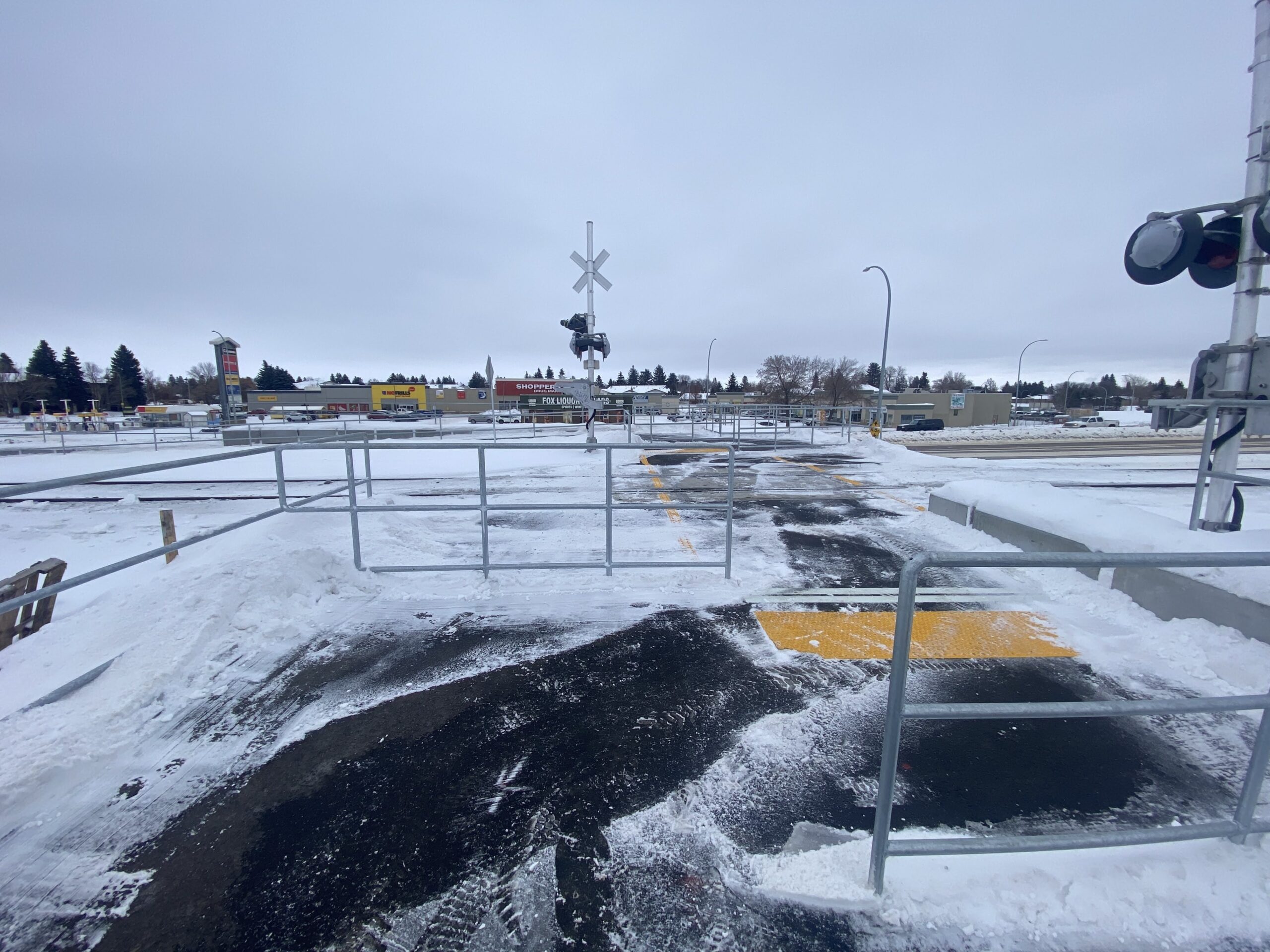
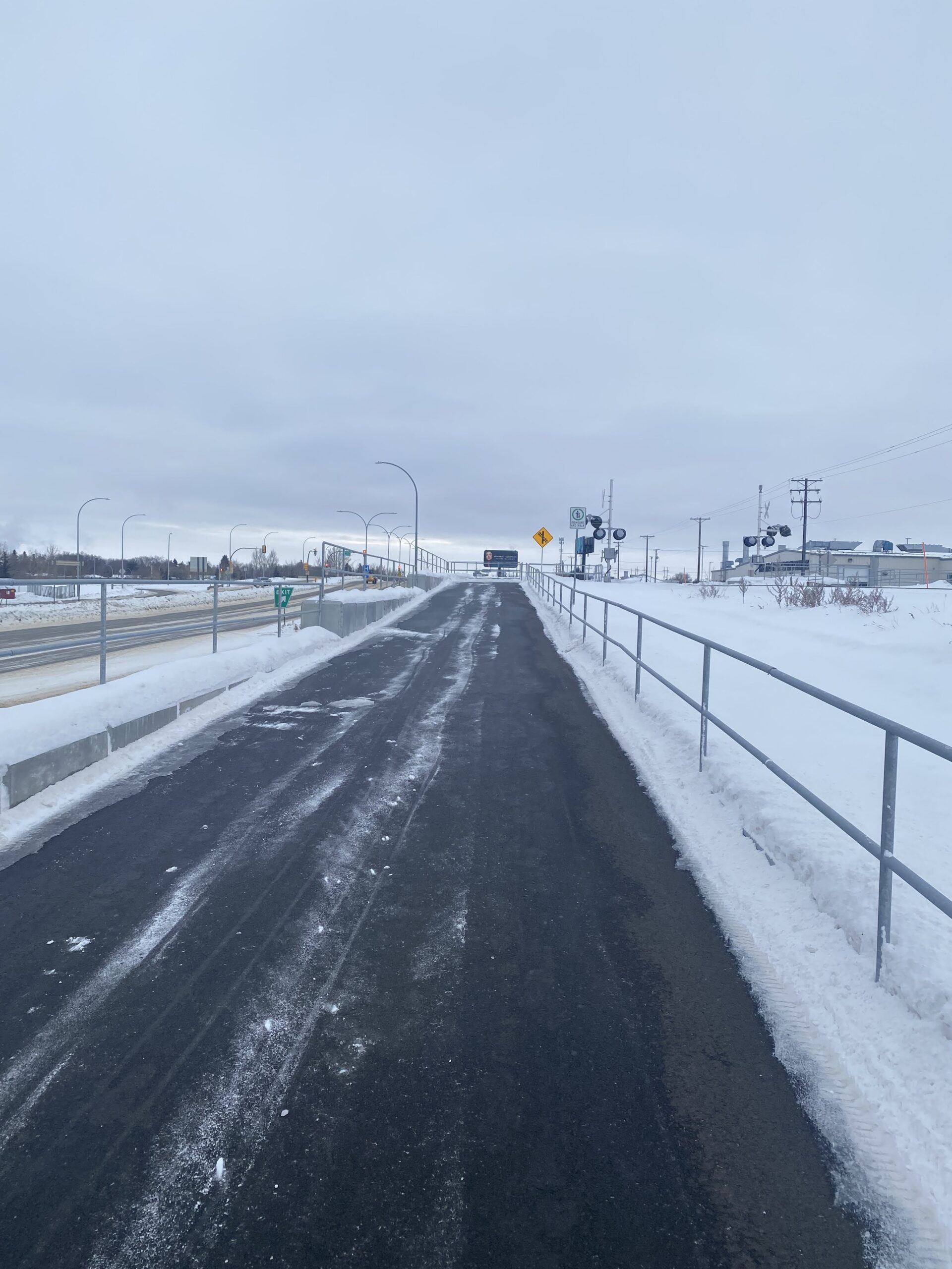
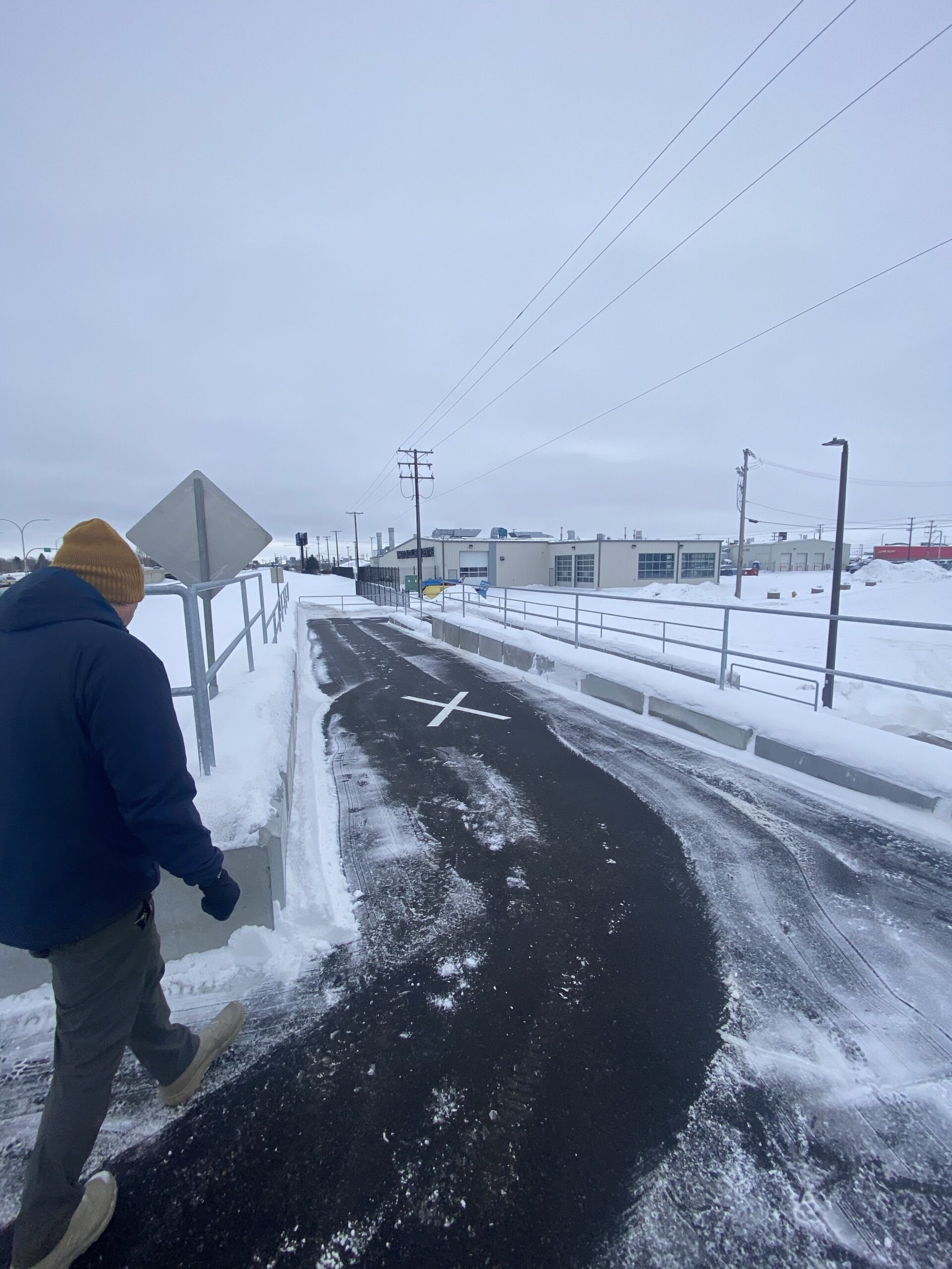
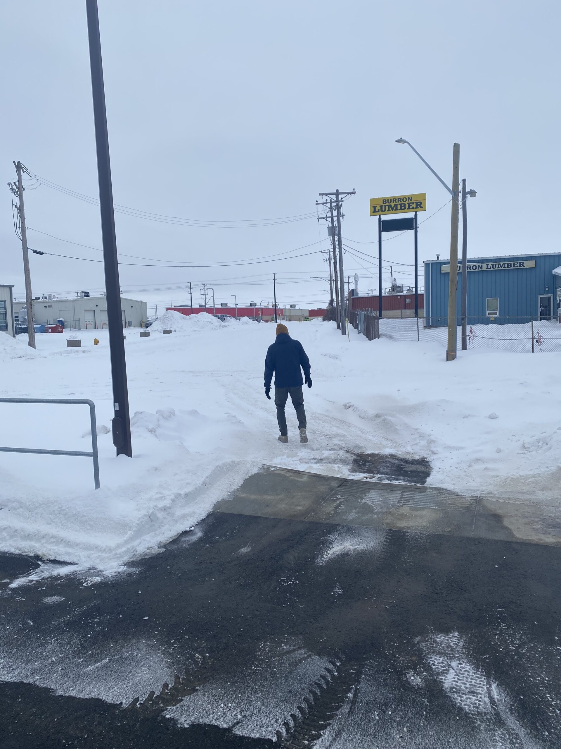
One of the most high-profile projects completed this year was the pedestian crossing over the train tracks at Warman and Assiniboine connecting to 43rd Street East. This is a hugely important crossing as its the only safe and legal way for people in the north end to get back and forth to North Industrial over the train tracks between 33rd and 51st, a huge stretch. Credit to Councillor Donauer for getting this project funded.
Pedestrian-activated rail crossing at Assiniboine and WarmanAccesible ramp at Warman/Assiniboine leading to crossing.Taking the ramp down to 43rd.Arriving at 43rd Street
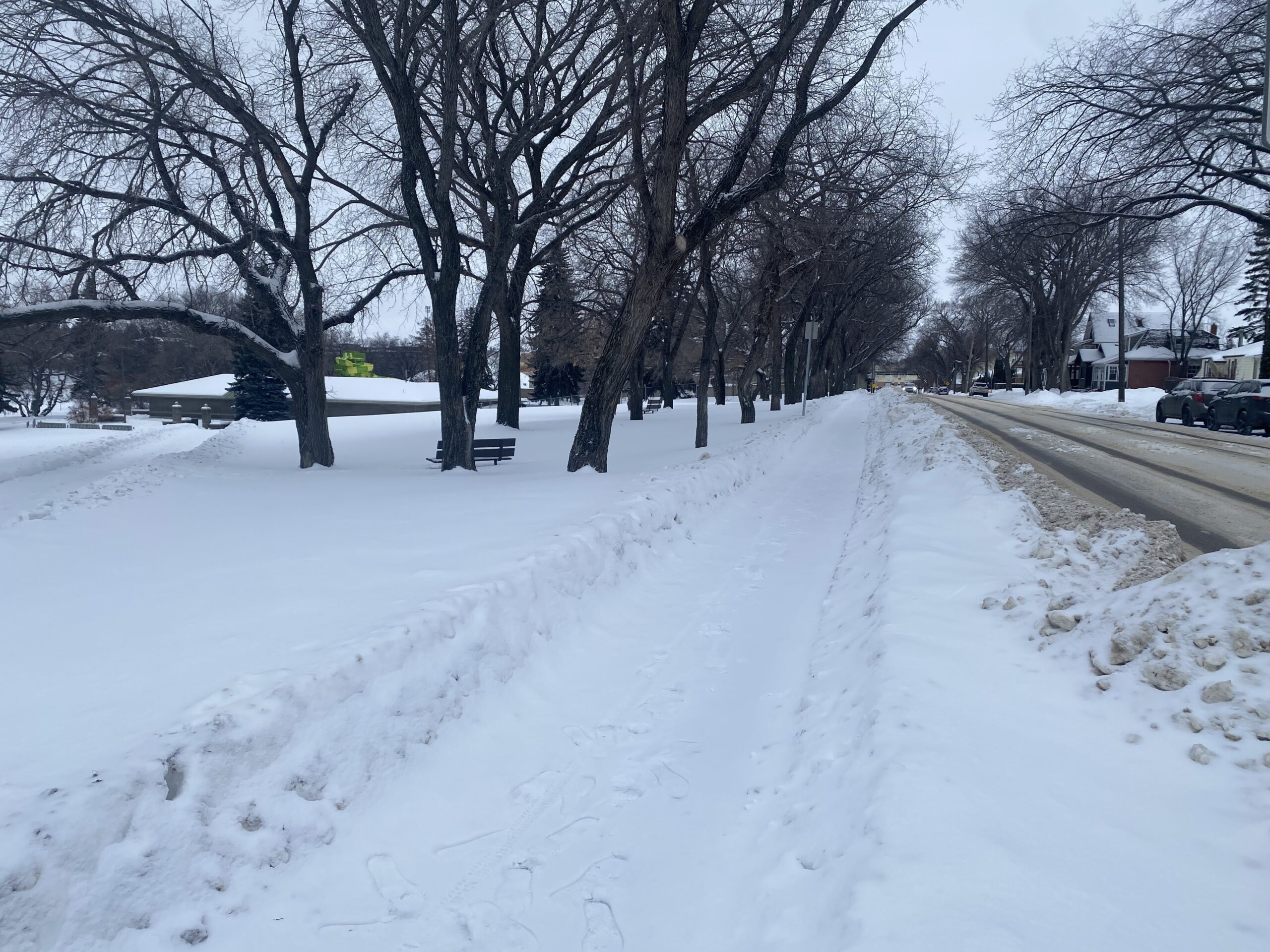
The city slowly (slowly) is actually connecting up North Park to the Meewasin, whereas now almost every last block to the river doesn’t have a sidewalk. Here’s an important start to fixing that, a sidewalk connecting up Prince of Wales Avenue and Pest Hill to the Meewasin.
New sidewalk on Prince of Wales Avenue to Spadina
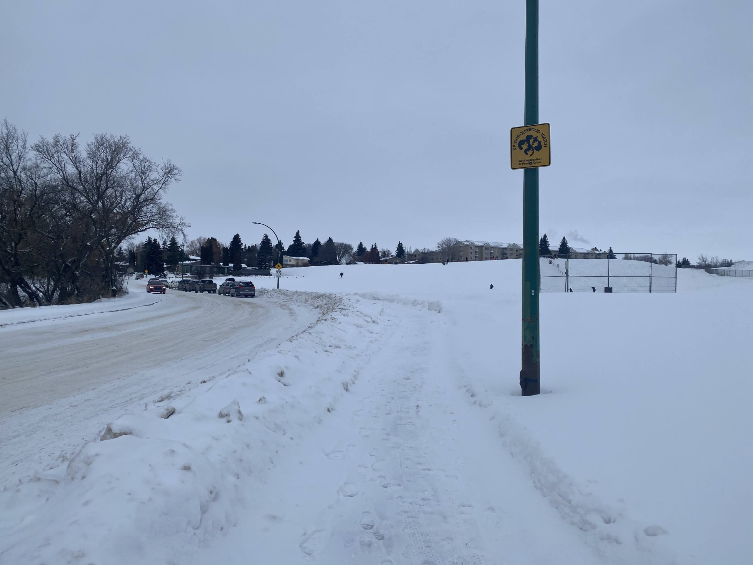
Another common type of missing sidewalk in the city are blocks along parks. This was a particularly important project to fill one of those gaps, on the east side of Avenue H South, allowing much safer access to Riversdale Park and the river for residents of King George.
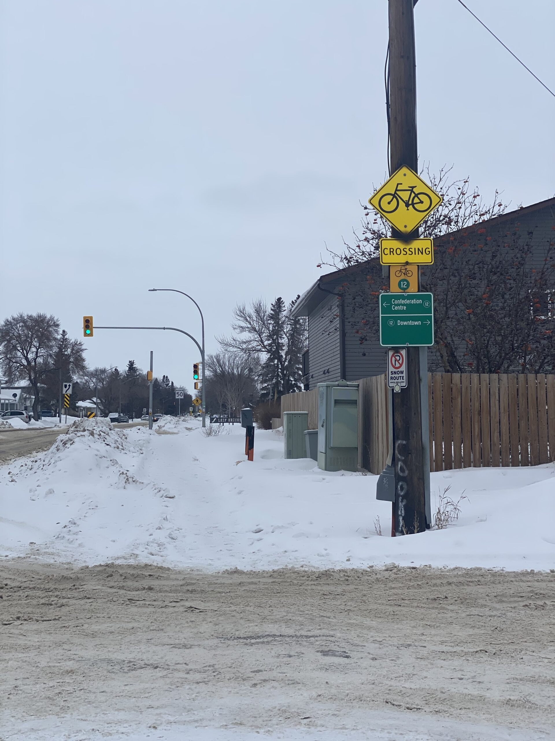
The City continues its good work on the 22nd/23rd Street corridor, here filling in the gap down Avenue W from 22nd to 23rd, complete with signalized crossing on the 23rd Street Bikeway
Over to the east side, another park-adjacent (and school-adjacent) sidewalk on Egbert Avenue next to Sutherland Elementary. Great project.
And, last but not least, new sidewalk(s) on the west side of Kenderdine in Arbor Creek, from Kerr to Forsyth, bordering John Avant Park. We saw many people walking their dogs during our brief time there (now finish up Kerr to McOrmand!) Also a new sidewalk inside the University Heights suburban centre along Attridge.
Stay tuned for more updates in 2026, which should also include a lot of work on the WCMUC rail trail!
22nd Street has always been Ground Zero for pedestrian safety in Saskatoon. A long, high-speed 6-lane stroad with big gaps between safe crossings, poorly maintained sidewalks and intersections, as well as a major rail line crossing, all right through the middle of neighbourhoods with a high level of pedestrians who need access to schools, hospitals and shopping all along the corridor. We’ve covered this corridor a lot, from a survey of winter walking conditions in2018 to solutions we proposed to help fix 22nd Street.
Luckily, the last several years, often helped by the efforts of ex-Ward 2 councillor Hilary Gough, the corridor has seen a large number of pedestrian safety improvements, many of which we’ve covered here, from fixes on 22nd itself:
🚦 New and improved crossing alert! A pedestrian-actuated signal has been installed on 22nd Street and Avenue V. This means safer, more efficient crossings for everyone. Let's walk safely, together! 🚶♂️🚶♀️ #SaferCrossing#CommunitySafety#yxepic.twitter.com/Oddt5HAJZv
This may not seem huge but it's one of the most important projects in Saskatoon it's at one of the highest fatality areas in the city: a new pedestrian-activated crosswalk at 22nd/Avenue X right next to the last grocery store in the core west side. @SenosTimon@troydavies4pic.twitter.com/Yuf95Gl5qG
to many projects, especially sidewalk infill, on the adjacent streets of 23rd and 21st. Those parallel streets, as we discussed in our original coverage, were safer for walkers in terms of traffic volume and intersection navigability but had no sidewalk coverage for large numbers of blocks, a huge problem for pedestrians who were stuck between the devil and the deep blue sea when it came to deciding where to walk.
And, probably the biggest project along 22nd, the West-Central Multi-Use Corridor, a project to make a safe active transporation path along the CPKC rail line that crosses 22nd diagonally around Avenue F.
A big move in 2025 has been a focus on 22nd as it moves past Circle Drive and into Confederation Park/Fairhaven and neighbourhoods west. The west-side suburban neighbourhoods have always suffered from poor intra-neighbourhood walking access, with both 22nd and Circle acting as hard barriers to connectivity. Circle Drive, in particular, restricts access to the Downtown core, with pedestrians and bikers funnelled to a singular path on the west side of 22nd or a handful of poorly maintained tunnels under Circle.
The next several years will see positive change to those problematic sections of 22nd west of Avenue X and into Confederation Park, Fairhaven, and Kensington.
First, the construction of a south-side sidewalk from 22nd and Witney Avenue to connect up to the pedestrian overpass on Circle to make it easier for walkers from the south side to avoid having to cross 22nd at Avenue W against heavy traffic.
Looking towards Witney Avenue down 22nd from Circle pedestrian overpass
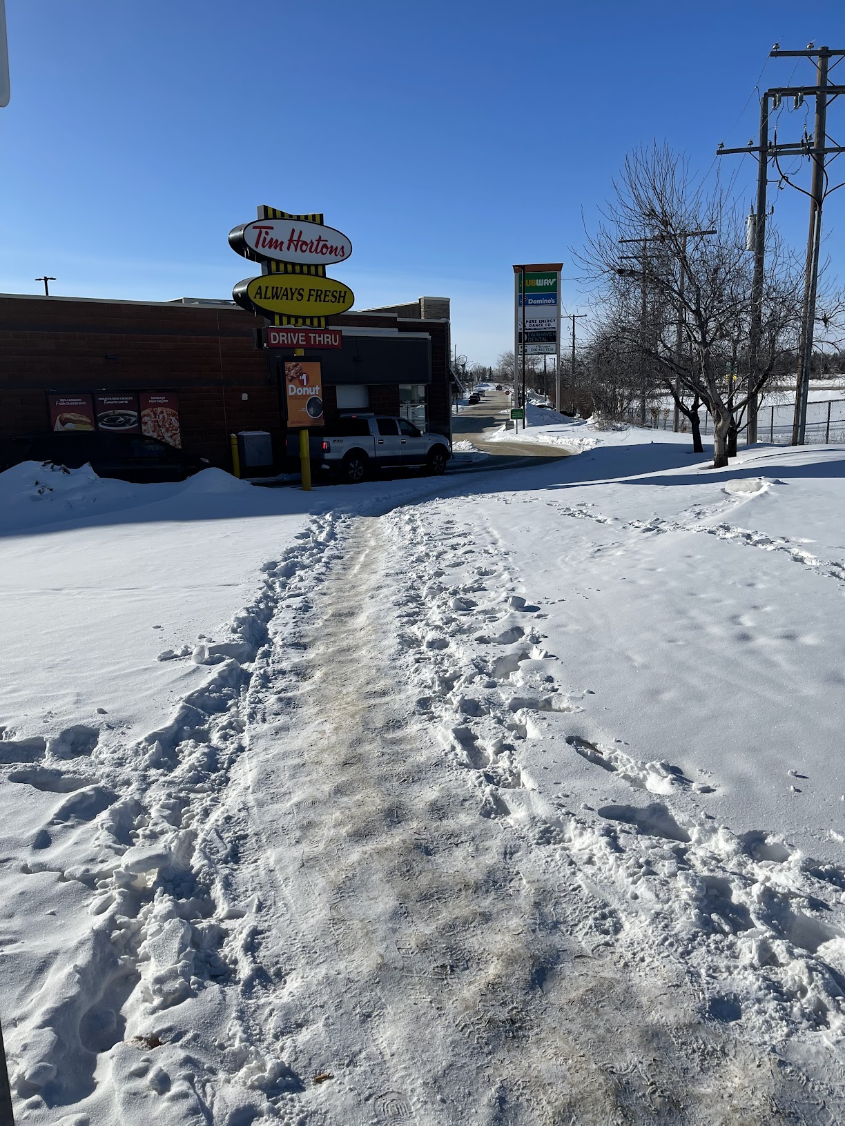
Second is the improvement of the southwest pedestrian infrastructure at the corner of Diefenbaker and 22nd and the addition of a pathway from Diefenbaker to Confederation Drive (unfortunately concurrent with the addition of a third car lane). This is a hugely important and highly trafficked intersection for pedestrians, really providing one of the few safe crossings of 22nd west of Circle and it’s a disgrace that it’s nearly half-a-century of waiting for a sidewalk on this section of street. This area is filled with desire paths as pedestrians are force to cut through fast food drive through lanes and muddy and snowy medians to try and get to their destination.
Desire paths on the west side of 22nd from Diefenbaker to ConfederationIn the absence of any sidewalk on 22nd, icy shortcutting through the Tim Horton’s drivethrough is popular.
City Admin recommended several projects for federal funding, a proposal that will be heard in committee this week (January 2025). We’re going to cover all the proposed projects, starting with the Idylwyld multi-use path near SaskPoly.
Despite the pending relocation of SaskPoly, this is still an excellent project that continues the long work of making Idylwyld less of an awful experience to walk along or cross. This will connect up the SaskPoly campus and 31st to the 33rd Street multi-use pathway, making it a much better experience for walkers and cyclist on the east side of Idylwyld. In addition, this will give a lot more space for the BRT station in front of the main SaskPoly building.
The city posted their full AT capital plan at a recent meeting. A useful document to see what changes are coming to the city’s pedestrian and bike network.
The city released its sidewalk infill construction list at the end of 2023, it’s great to see what got done and what is planned for the next few years. It’s important to keep this program funded after 2025.
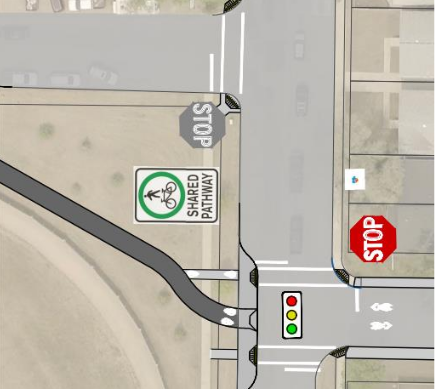
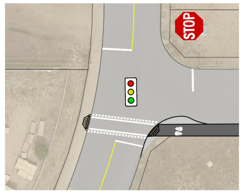
As part of the construction of the WCMUC (West-Central Multi-Use Trail) the city has come up with a design to fix the rail/road crossing at the confluence of the CP tracks, Avenue N and 19th Street. This unsafe crossing situation has led to complaints from both CP and area residents. This is the situation now:
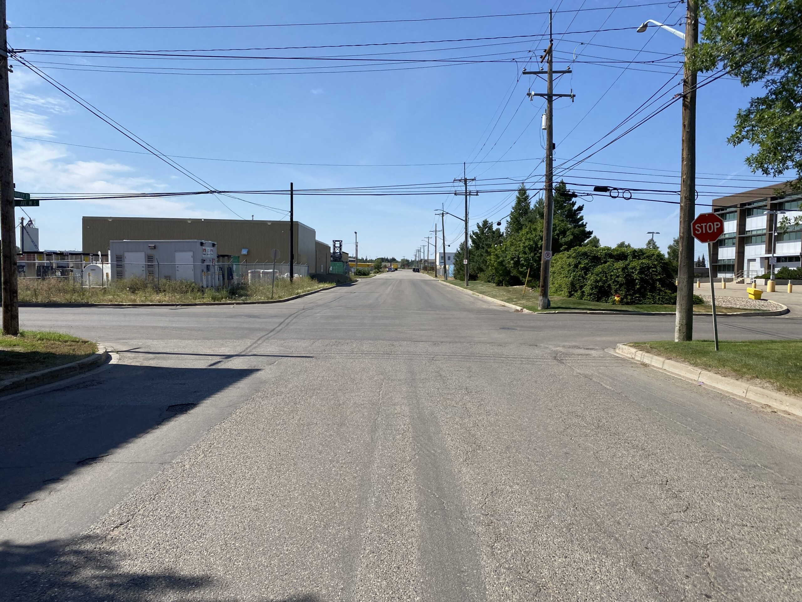
The City of Saskatoon has been working towards a build-out of an All Ages and Abilities cycling route, as laid out in the 2016 Active Transportation Plan. In the plan, the southwest portion of Saskatoon was to be connected to the cycling network via infrastructure on 11th St W. After additional consideration, the City has decided to that Dudley St, with less regular and truck traffic, would be a more desirable and possibly safer route. The Dudley Street Bikeway project would connect an existing multi-use path west of Dawes Ave, the Gordie How recreation complex, and the Holiday Park and King George neighbourhoods to the Meewasin Valley Trail.
Pending detailed design (beginning 2021), the project was initially costed at $2.7M. In 2022, City councillors voted against funding the project.
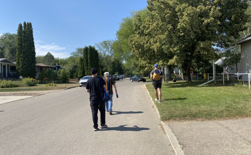
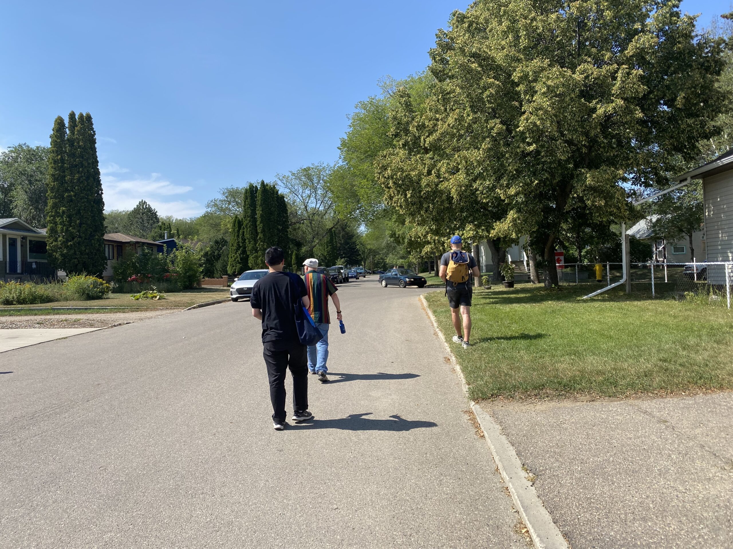
In August, a few members of Walking Saskatoon met up with some other pedestrian-loving folks for a walk along Dudley Street. We wanted to find out what Dudley is like right now for active transporters, and to talk about how to make Dudley St. better for people who walk.
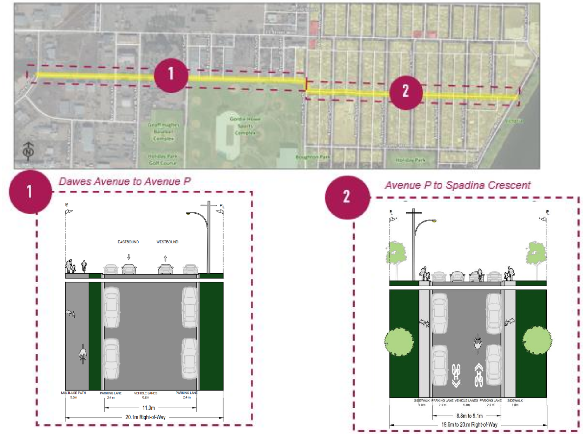
First, a little bit more about the project. As shown in Figure 1 below, the Dudley Street project includes a shared multi-use pathway on the south side of Dudley, from Dawes Ave east to Avenue P (#1 in the image). Then, continuing from Ave P east to Spadina Crescent, the road will become a bikeway (#2 in the image) with sidewalk infill ‘where feasible’ (“Neighbourhood Bikeways Project: Dudley Street Corridor – 2020“).
Figure 1: Detailed conceptual plan for shared pathway and bikeway proposed for Dudley St.
Currently, there are sidewalks only in a relatively small section of Dudley, and even then only a few blocks where both sides have sidewalks. There are also more than twice as many intersections without curb ramps than with, and some intersections with ramps only in some directions.
Figure 2 below shows the corridor in relation to other ATP infrastructure. Dudley is marked by yellow dashes, and extends from Spadina Crescent in the east to Dawes Ave in the west (Dudley then turns south and eventually terminates at Fletcher Rd).
Figure 2: Map of active transportation routes in southwest Saskatoon
For the rest of the post, follow along with us on our journey west towards Dawes Ave, sometimes on a sidewalk but more often sharing the road with vehicles. At each stop along the way, we took some photos, discussed the proposed infrastructure, identified potential issues and opportunities, and generally tried to imagine what it would be like to have a space dedicated for pedestrians and cyclists. We hope you enjoy the trip!
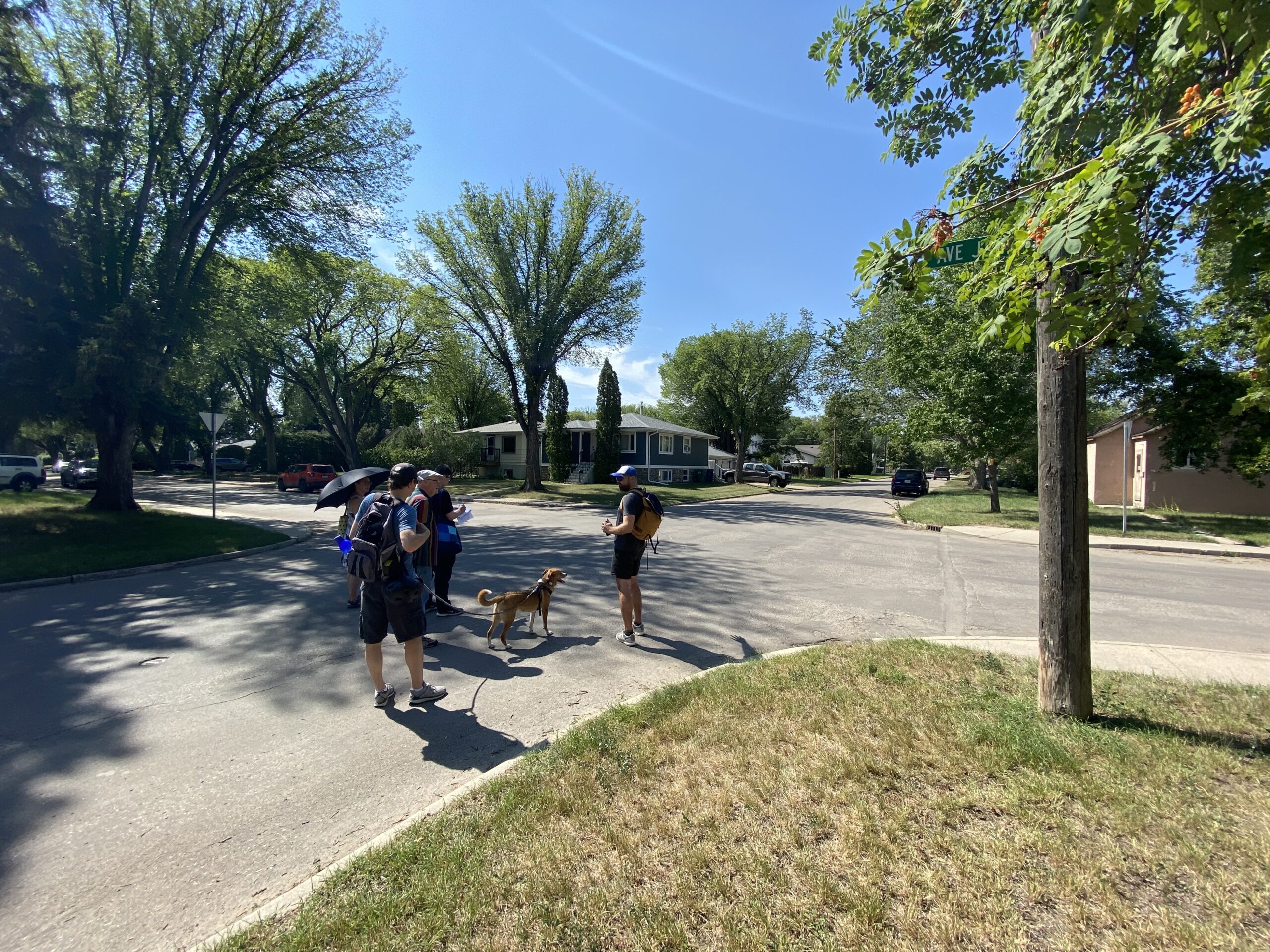
AVENUE J
For all intersections along Dudley, north/south traffic control would change from yield to stop. This could be a sticky point for drivers, but it is much needed to ensure efficient flow for active transportation. This section will include sidewalk infill, getting us pedestrians up and off the roadway. But for new sidewalks, not only are there trees to contend with, but also the occasional parking spot.
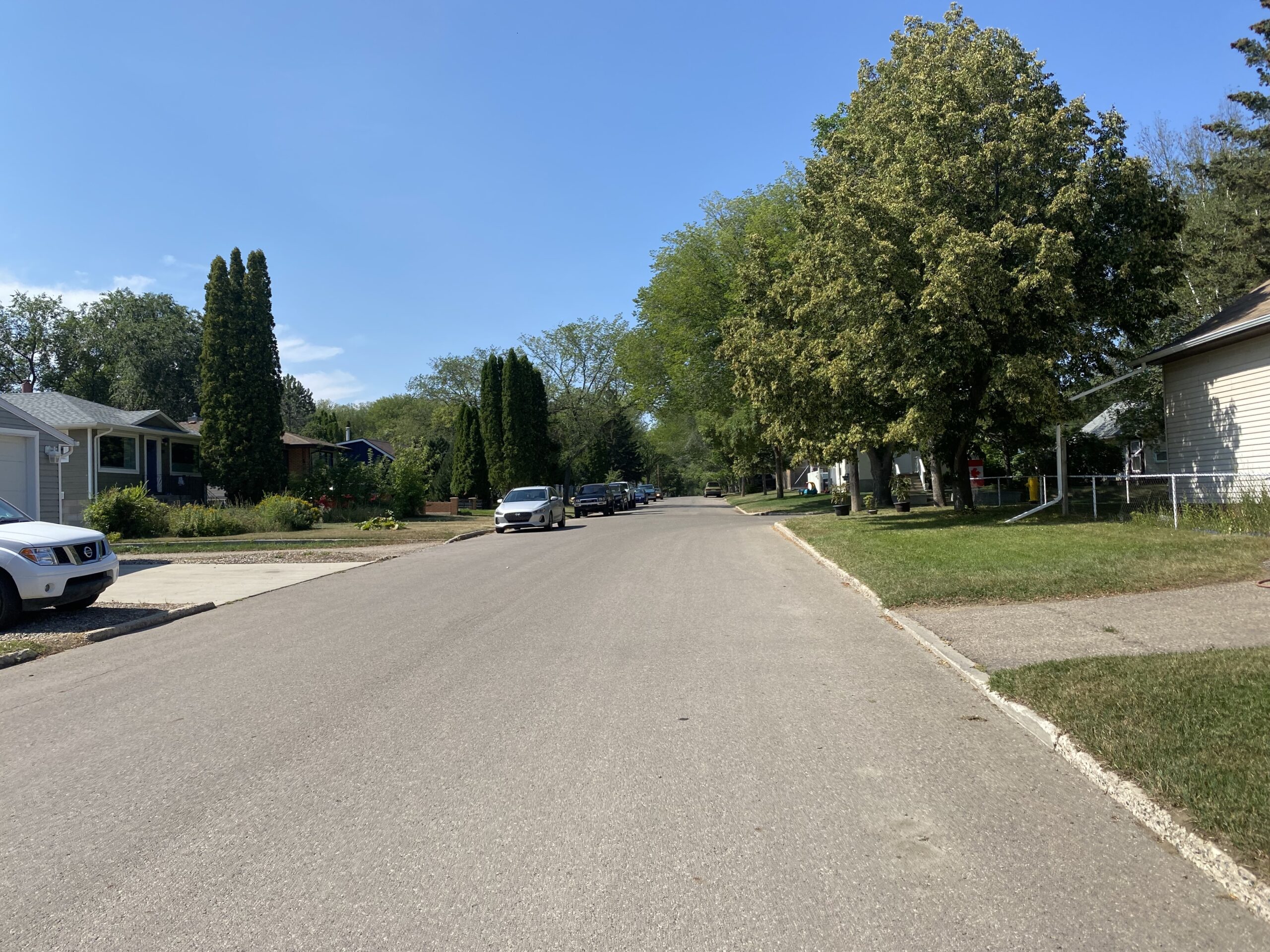
Walking west towards Ave JSidewalk vs tree roots, a common conflict in older neighbourhoodsMulti-use roadway?Intersection at Ave J and Dudley
We certainly appreciated respite from the heat in the shade of some large trees!
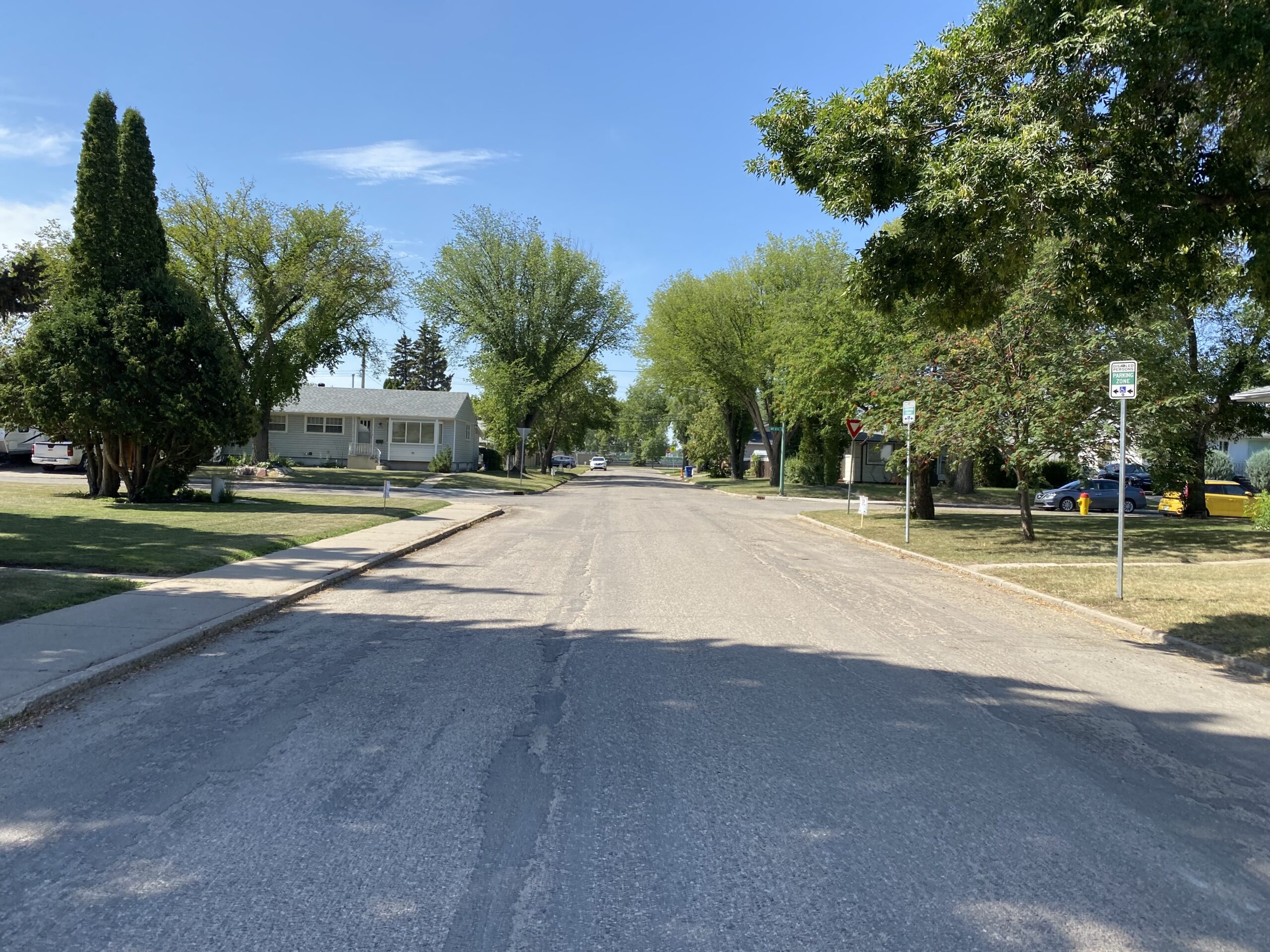
AVENUE K
Curb extensions on the south east, south west, and north west corners of the intersection will give greater visibility to pedestrians and cyclists looking to cross the street. They also narrow the road, which typically means drivers will slow down. Because parking within 10 metres of an intersection is restricted in Bylaw 7200 (Schedule 1, #4), curb extensions should not affect parking. Again, loving the shade trees.
Curb extensions planned for left and right across the streetCurb extension planned on the right
AVENUE N/O
Here as well, the yields would be replaced with stop signs. Interestingly, there would be a raised crosswalk running north/south at Ave N, on the west side of the intersection, and also one north/south at Ave O, on the east side of the intersection (see the middle image in the top row, below). At this point in the project design, bike traffic will share the road with vehicles. Note also the lack of curb ramps; this will also be remedied.
East to Ave N intersectionWest to Ave O intersectionLooking west through Ave O intersection, from where the raised crosswalk would go
AVENUE P
Curb extensions are planned for the west side of the street. Bike and pedestrian traffic going west on Dudley will meet a stop sign here. A crossing light will be installed to stop north/south traffic. You can see additional design details below.
This was the last substantial shade we had for the rest of the trip. Our discussion turned to the idea of respite and we imagined how the corner of the block could be transformed into a functional rest stop: shaded seating, drinking water fountain, and a public toilet would provide relief for many needs. This last ‘amenity’ is something our members have been pursuing elsewhere: the lack of access to a public toilet can actually be something that becomes a barrier to use for many people.
Dudley at Ave P, facing northwest towards the continuation of Dudley
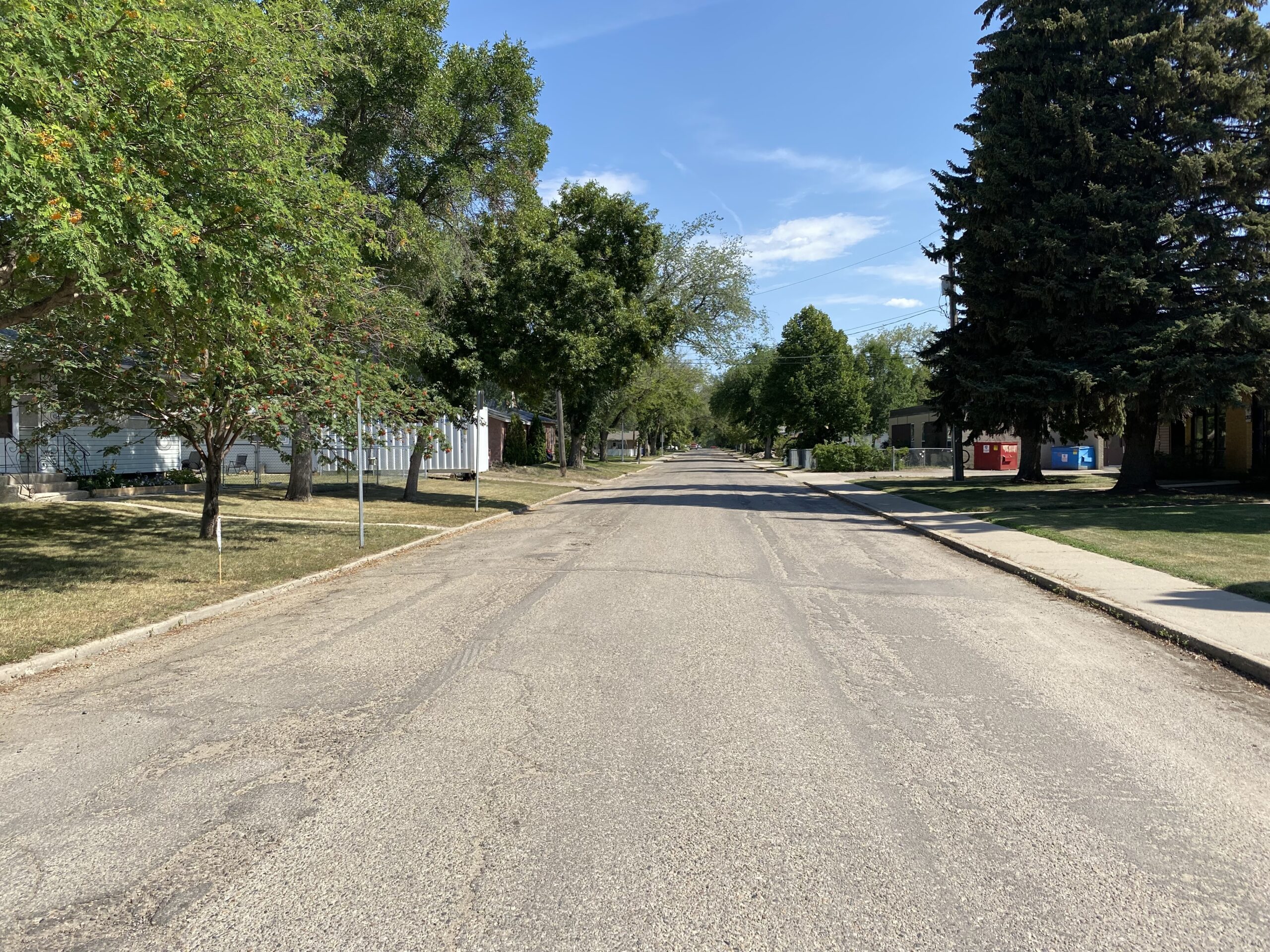
AVENUE W
The stop sign here will swap to the north/south direction on Ave W South. This picture shows a very different view compared to the eastern part of Dudley. As an industrial area, there are few trees, and their absence was sorely missed in the heat. While we were able to cool down in the shade of some of the buildings, this section was mostly concrete, and very hot. Additional trees or other sun-shading on the south side of Dudley would make this section much more tolerable for pedestrians.
DAWES AVENUE
The project ends at Dawes Ave, where it connects with the multi-use pathway that ends up running south and then east, adjacent to Circle Drive (see the map and image below for the intersection detail). Unfortunately, as it was scorching hot, we did not make it all the way to Dawes Ave for a picture, instead returning to the river for refreshments and discussion.
CLOSING THOUGHTS
Dudley St is ready for some infill and upgrades, and we are glad to see the City taking initial steps to plan and cost it out. There are supporters in the neighbourhood, especially one major destination: the Gordie Howe Sports Complex (read their submission to council here). The partner groups not only want to support active transportation, but also want to ensure that people who use it can do so safely.
Saskatoon Cycles is also in support of the project (their submission here), but with some changes from a bike-oriented perspective. Specifically, they are calling for a separated bike lane west of Ave P, and lower vehicle speed limits east of Ave P. Both of these would improve not only the cyclist experience, but also the pedestrians. Keeping bikes separated from pedestrians will reduce the risk of collision between pedestrians and cyclists, and reduced speed limits along the rest of the route will also reduce risk of vehicles striking pedestrians.
Saskatoon Cycles also identified the need for additional work to improve nearby sidewalk quality and connectivity, and a link across Circle Drive. Connectivity across Circle has been a concern for us as well, and we hope that the City is able to take these comments to the drawing board. If we’re going to build a corridor and want it to be used, we have to support people in getting there.
One final comment from Walking Saskatoon would be that these planned changes need to be implemented in a way that makes the corridor suitable for all seasons. Will there be an appropriate level of service from the City to support people walking and cycling through here? Having the infrastructure without adequate seasonal maintenance will certainly not induce or inspire its use.
Thanks for coming with us on this adventure. We encourage you to take the tour (in better weather, perhaps), and hope to see this project funded soon.
Our favourite time of year, new sidewalk infill season! The following streets are getting sidewalks over the next three years, thanks to city council for making this happen!
McPherson Avenue from Ruth St to Elm St (both sides)
McPherson Avenue from Taylor St to 7th St (both sides)
Kenderdine Road from Park entrance to Kerr Rd
Isabella Street from Clarence Ave to Lansdown Ave (North side)
Diefenbaker Drive from 22nd St to Fairlight Dr (West side)
Duke Street from the Lane West of 10th Ave to King Cres (South side)
21st Street West from Avenue I South to Avenue P South (North side)
21st Street West from Avenue U South to Witney Avenue (South side)
29th Street West from Pierre Radisson Park to Avenue L North (South side)
18th Street West from Avenue U South to Avenue S South (both sides)
Ewart Avenue from 8th Street to Main Street (East side)
Grant Street from North of Spark Avenue (both sides)
8th Street East from Boychuk Drive to Golf Course (South side)
Boychuk Drive from 8th Street to Briarwood Road (West side)
Prince of Wales Avenue from Lane East of Empire Avenue to Spadina Crescent (both sides)
Avenue H South from 13th Street to 15th Street (East side)
St. Henry Avenue from Hilliard Street to Isabella Street (East side)
Victoria Avenue from Ruth Street to Elm Street (both sides)
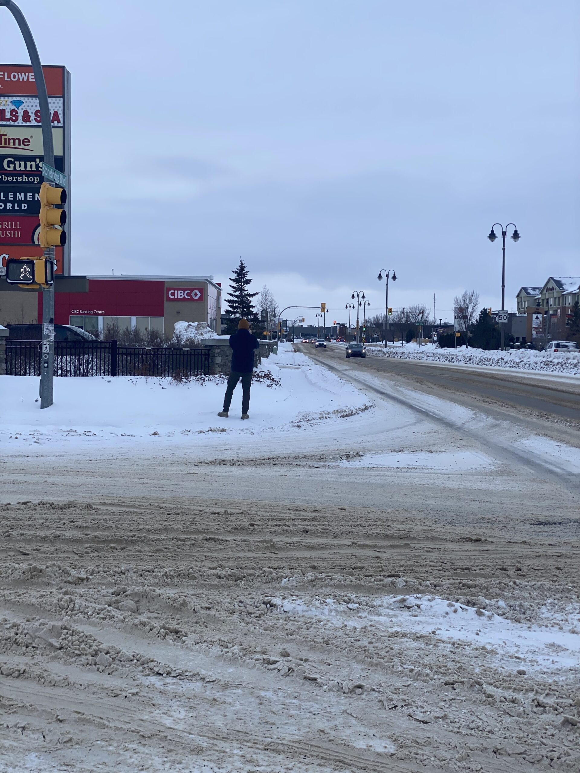
Stonebridge Boulevard from Clarence Avenue to Wellman Crescent East intersection (South side)